
Feasibility study
Multi-storey building, existing records
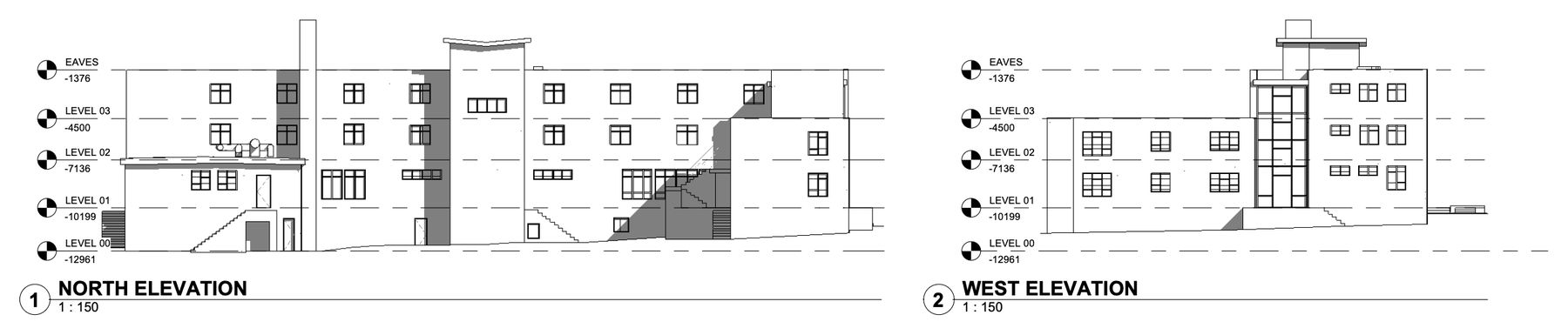
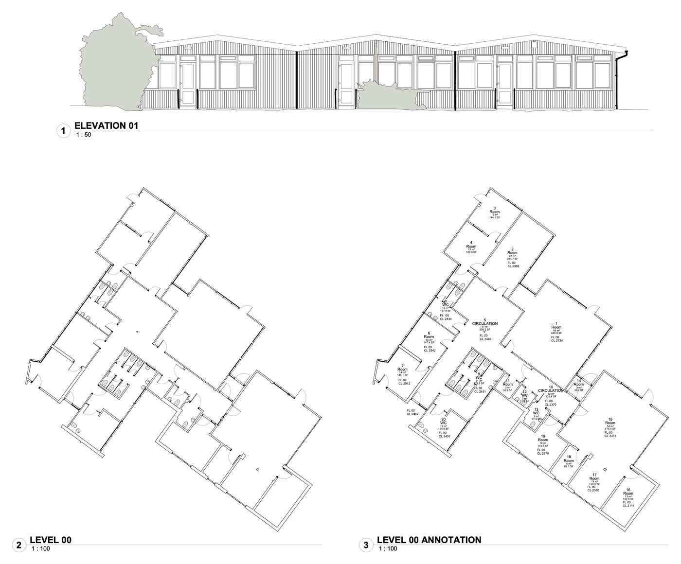
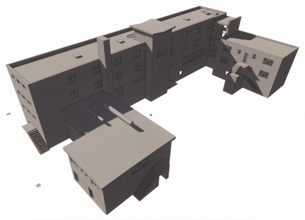
Laser scanned and modelled to give the project team accurate elevations, levels and floor plans for a feasibility study.
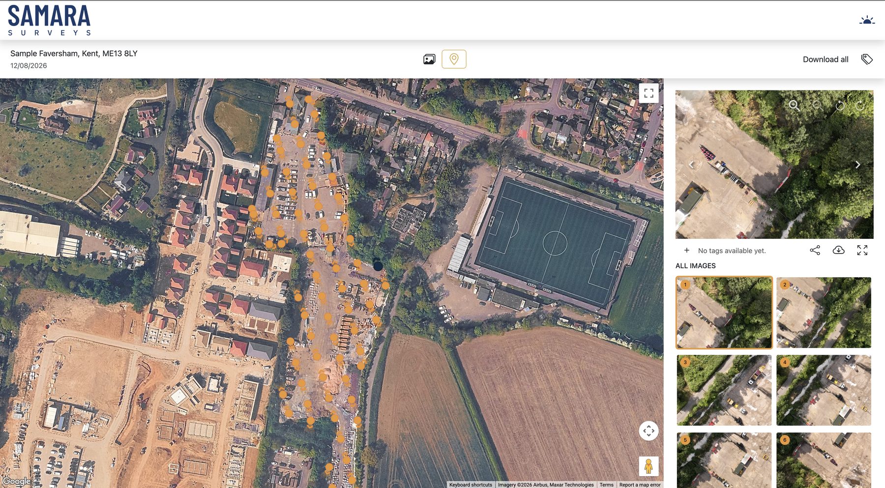
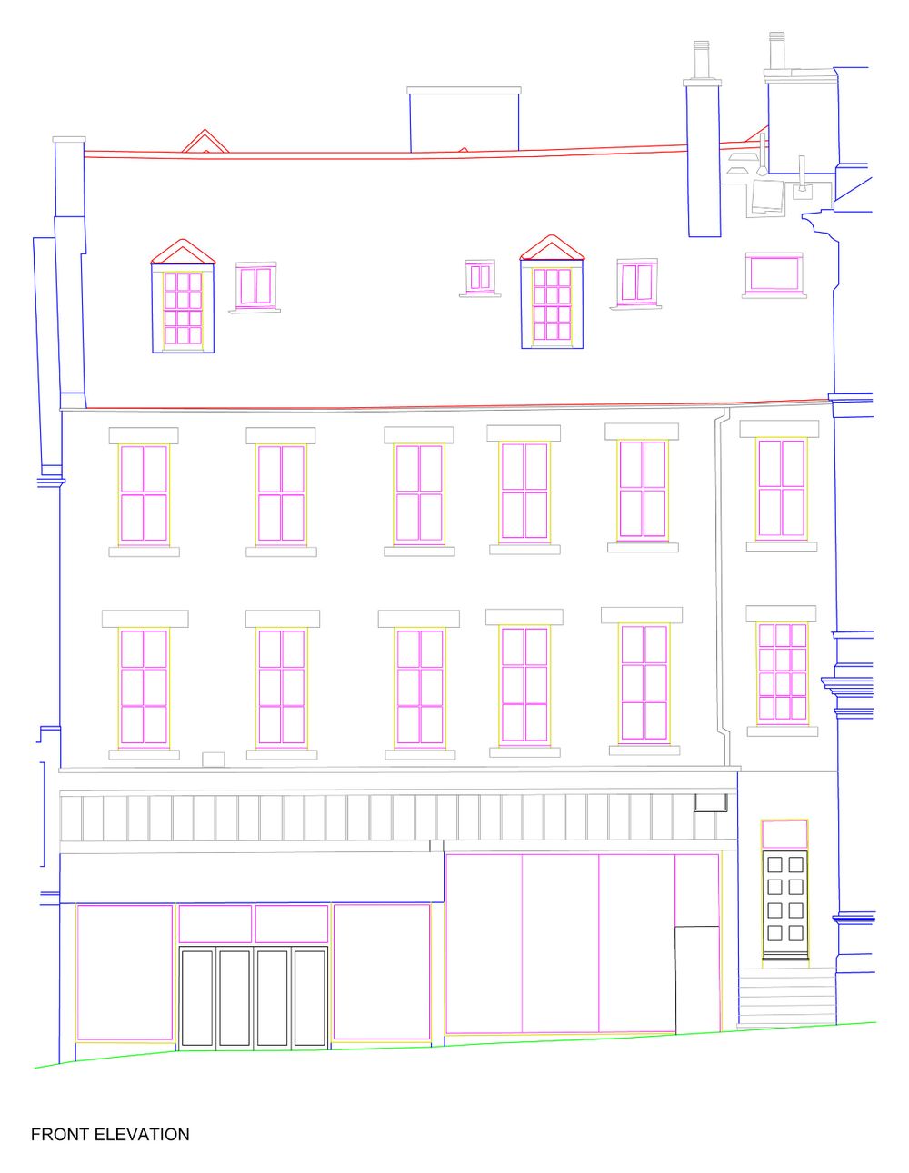
Elevations · floor plans · Revit modelLaser-scanned floor plans, elevations and sections, plus drone roof inspections delivered on a map you can click through. Across London and the South of England.
Establish reliable dimensions, levels and layouts before design or refurbishment work begins.
Avoid costly assumptions, inaccurate drawings and unexpected site discrepancies.
Give architects, surveyors and project teams the information they need to plan, specify and deliver work confidently.
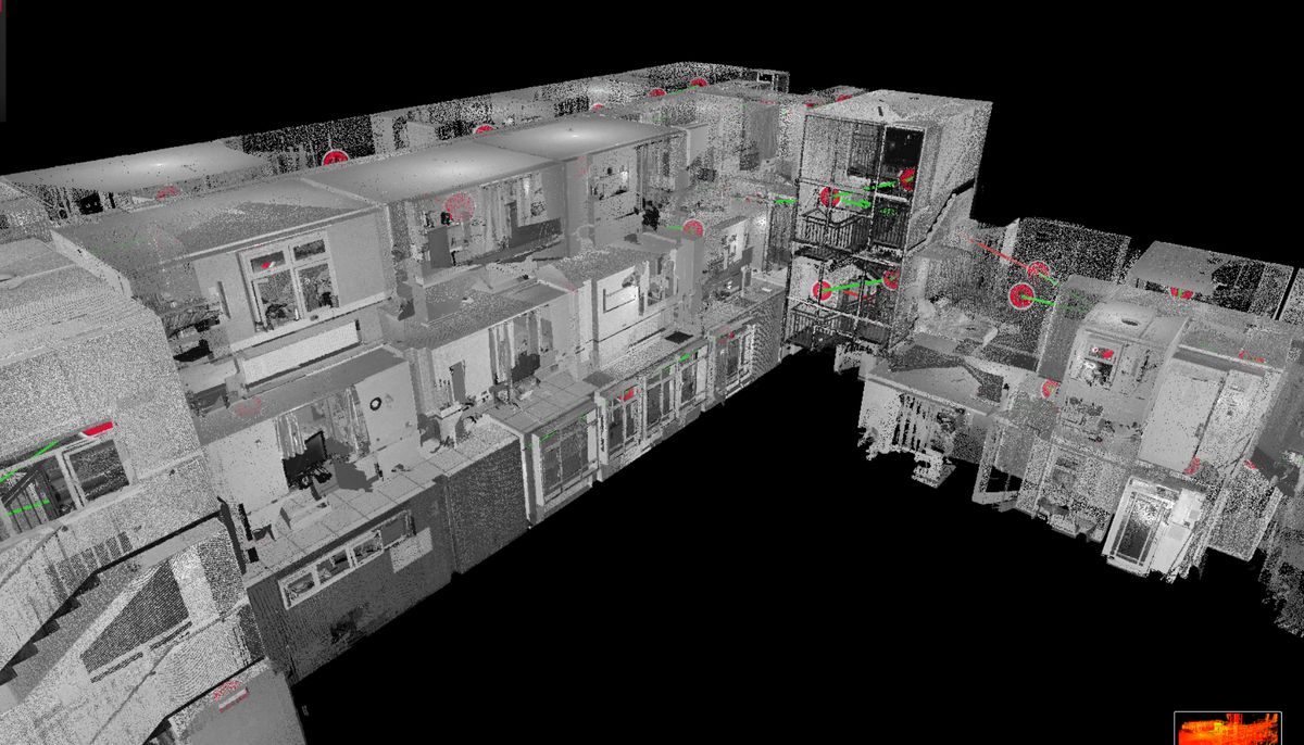
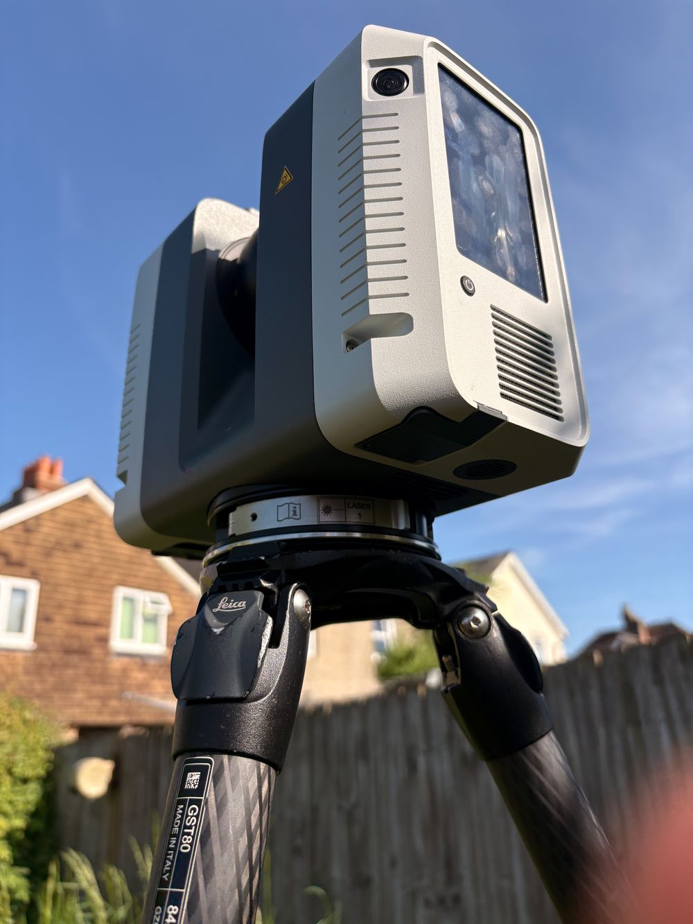
We scan the building with a Leica RTC360 and use drone capture for roofs and high-level areas. That gives a complete, measurable record of what's there. From it we produce the drawings you need for design work, lease plans, specifications or planning.
We agree the scope, level of detail and drawing standard before we go to site, so you get what you asked for.
We capture roofs, gutters and elevations by drone, so nobody has to go up. Instead of a folder of photos, you get a private link where every image sits on the map where it was taken. Click a point, see the photo, and download the originals.
Points of interest are observations to help you review the images. They aren't a condition assessment unless we've agreed that in the scope.
Client names are left out for confidentiality.
Laser scanned and modelled to give the project team accurate elevations, levels and floor plans for a feasibility study.
Elevations · floor plans · Revit model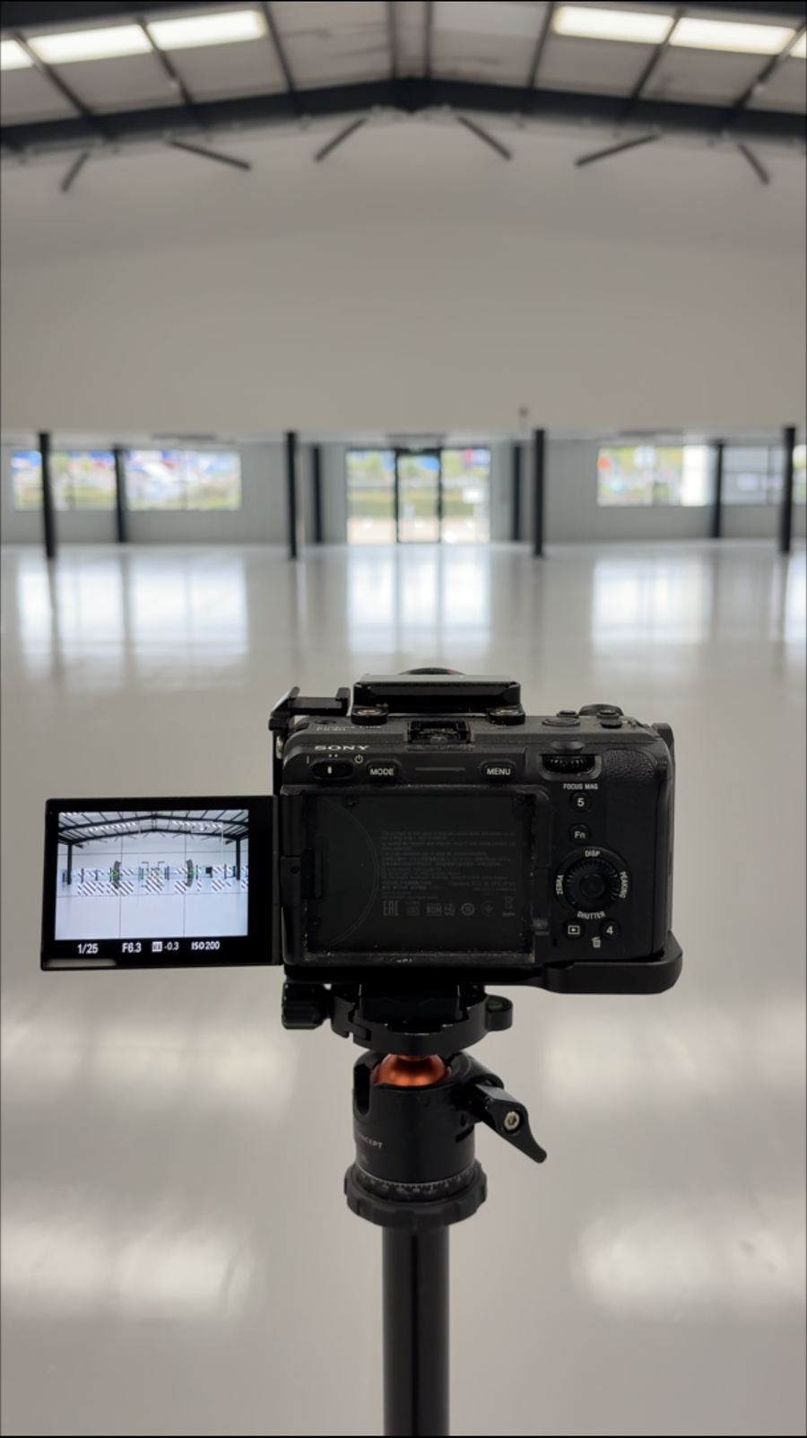
Captured before works began, so the fit-out design starts from the building as it really is.
Measured survey · site record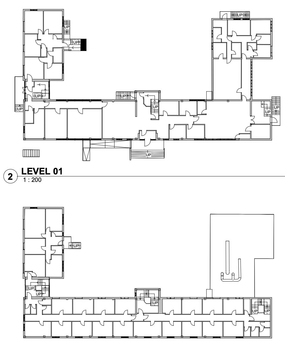
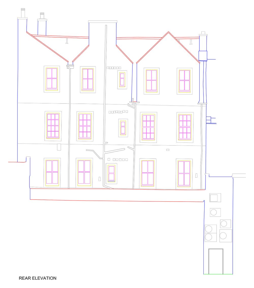
Every level drawn from the scan, with stairs, doors and openings in place.
DWG · PDF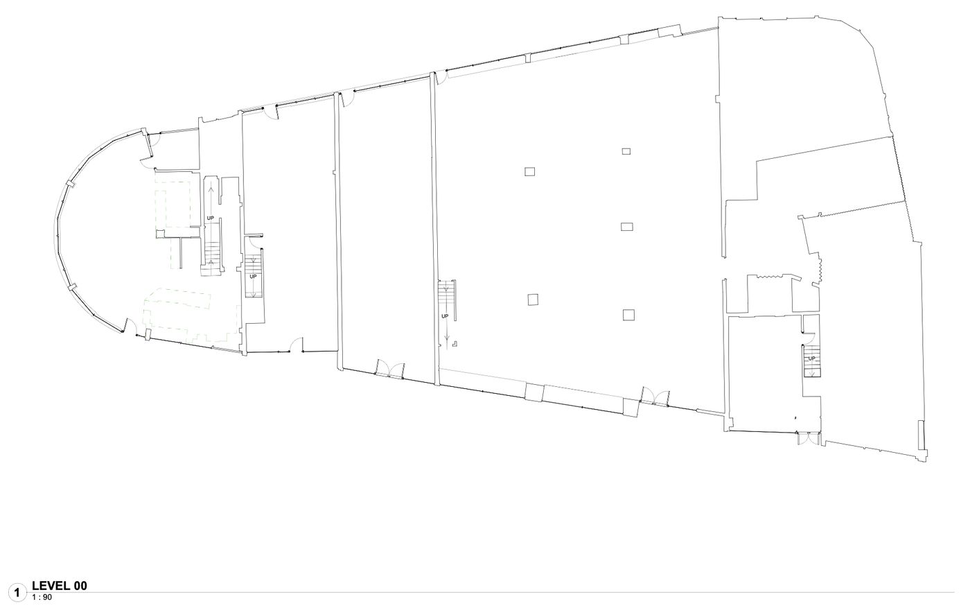
Curved frontage, columns and level changes captured in one plan.
Floor plan · DWG + PDF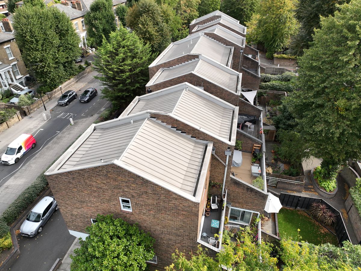
Hoppers, gutters and downpipes checked for blockages along a terrace, without access equipment.
Mapped images · inspection viewerEvery scan position registered into one point cloud, ready for your CAD or BIM software.
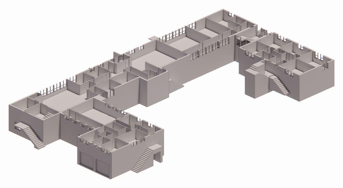
E57 · RCP · LASWalls, floors and stairs modelled from the point cloud where the project needs BIM.
Revit · IFCAddress, what you need and when. Plans or photos help but aren't essential.
We confirm the scope and deliverables in writing.
Scanning and drone capture, usually in a single visit. We handle the RAMS and any airspace permissions.
Drawings, point cloud or viewer link, in the formats you asked for.
Tell us the address and what you need. We'll come back to you with a quote.
Prefer email? alex@samarasurveys.co.uk